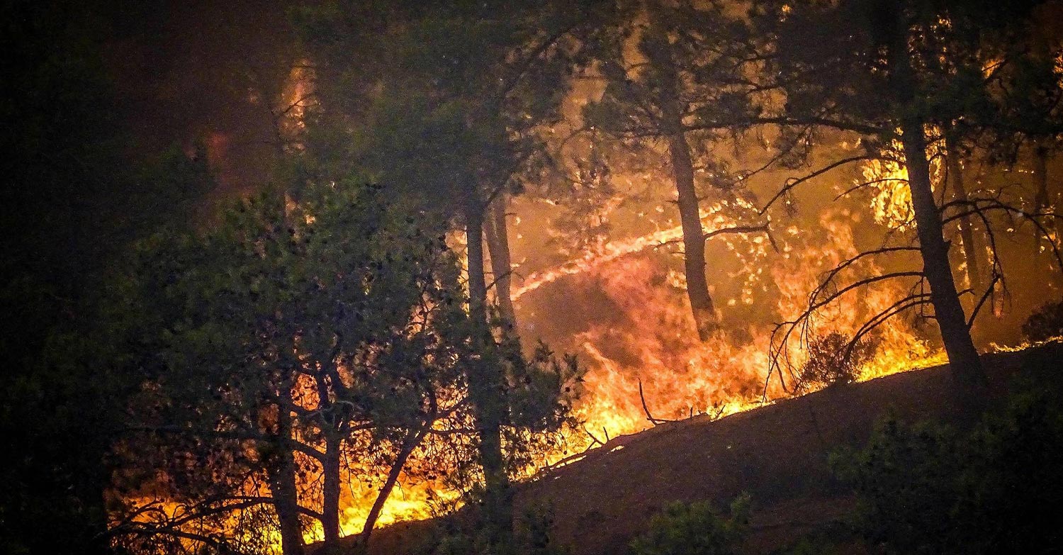
Συγκλονιστικές δορυφορικές εικόνες από την τεράστια φωτιά στη Ρόδο καταγράφει η ευρωπαϊκή υπηρεσία διαχείρισης εκτάκτων καταστάσεων «Copernicus».
Σύμφωνα με αυτά, μέχρι και την Κυριακή (23/7) είχαν καεί 114.140 στρέμματα στο Νησί των Ιπποτών, αριθμός που δυστυχώς αυξάνεται σημαντικά σήμερα Δευτέρα, με τις αναζωπυρώσεις σε πολλές περιοχές.
Ο «Copernicus» έδωσε στη δημοσιότητα δορυφορική φωτογραφία από τη φωτιά στη Ρόδο που δείχνει την καταστροφή και τον καπνό που έχουν προκληθεί από την πυρκαγιά.
A massive #wildfire is raging in #Rhodes island, #Greece
Tens of thousands of people have been evacuated
➡️The @CopernicusEMS #RapidMappingTeam has been activated (#EMSR675)
⬇️#Sentinel2 ️ image from 23 July showing the burn scar of the #RhodesWildfire pic.twitter.com/ZB7NsBzuyE
— DG DEFIS #StrongerTogether (@defis_eu) July 24, 2023
Την ίδια ώρα μέσα από σύστημα φαίνονται οι καμένες εκτάσεις και τα μέτωπα που καίνε σε πραγματικό χρόνο.
The wildfires in #Ροδος are among hundreds to have broken out across #Greece recently
The country has been enduring scorching temperatures, making this July its hottest in 50 years
Yesterday, #Copernicus #Sentinel3 ️captured this image of the smoke plume drifting south pic.twitter.com/P2mKNLWMGs
— Copernicus EU (@CopernicusEU) July 24, 2023

